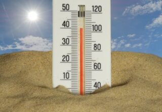

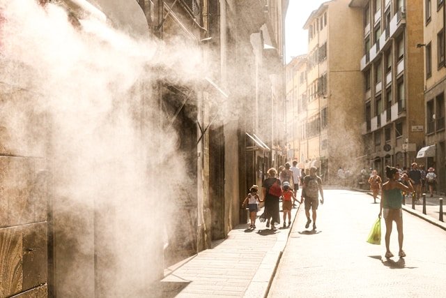
Harry Reid International Airport hit 110 degrees on Wednesday, Aug. 26, breaking a daily record of 109 set in 2001. The next day it climbed to 111 degrees, breaking a record of 110 set in 2017. Both marks fell during Southern Nevada’s fourth extreme heat warning of the past month, and neither was close to the year’s hottest reading.
What made the week notable was the calendar. The normal high for late August is 102 degrees, National Weather Service meteorologist Andy Gorelow told the Review-Journal, meaning Wednesday’s record came in eight degrees above normal and Thursday’s nine.
A Summer Already Ahead of Schedule
By the time this week’s records fell, 2026 had already logged a bigger 110-degree stretch in a single month than a typical Las Vegas year manages from January through December. Harry Reid’s airport recorded 12 days of 110 degrees or higher in July alone, according to the Review-Journal’s Aug. 25 weather report.
Southern Nevada’s annual normal for such days is 10, per the same paper’s Aug. 1 report. Independently calculated, July’s total alone beat the full year’s normal by 2 days, or 20 percent, with five months of the calendar year still to go.
August added at least three more confirmed days. The airport reached 115 degrees on Aug. 1, and then delivered this week’s two record breakers on Aug. 26 and Aug. 27. Added together, that puts 2026 at a floor of 15 confirmed days of 110 degrees or higher through Aug. 27, a figure this article calculated by adding each individually reported month’s count rather than a total stated anywhere in the sources reviewed.
It is a floor, not a full count, since the Review-Journal’s own Aug. 25 report also referenced “additional extensions” of extreme heat warnings through mid-August without listing which specific days reached 110 degrees, and this article could not independently confirm those individual dates.
Even the confirmed floor of 15 days runs 50 percent above Southern Nevada’s 10-day annual normal, measured with a third of the year still remaining. It is still well short of 2024’s record 36 days of 110-degree heat, the most such days the airport has logged in a single year.
The Heat Finally Breaks
The extreme heat warning expired Friday night, Aug. 28, after the airport reached 107 degrees that afternoon, short of the daily record. The Review-Journal’s forecast for the weekend put Saturday’s high at 104 and Sunday’s at 100.
The same report noted just how dry the year has been alongside the heat. Monsoon activity has been “almost nonexistent for the valley during a very dry year,” reporter Mark Davis wrote, pointing to a rainless streak that ran 124 days before breaking on June 23. July itself was the third warmest on record, with an average temperature of 96.6 degrees, according to the same Aug. 25 report.
None of the individual reports reviewed for this article put those figures side by side. Each covered its own week’s heat in isolation.
Taken together, they show a summer that spent July alone outpacing a full year’s normal for extreme heat, then closed out August by breaking two records that had stood for a quarter century and nearly a decade, before finally cooling into September range this weekend.